Picture a place where toucans outnumber traffic lights and ancient pyramids hide under moss. That’s this Caribbean Sea-kissed, Pacific Ocean-hugging country for you – though most folks couldn’t point to it on a map if their juice box depended on it. I’ve seen fifth graders ace spelling “Tegucigalpa” faster than adults (pro tip: say it like you’re sneezing – teh-goo-see-gal-pah!).
This ain’t your average geography lesson. We’re talking about a land where the flag’s five stars represent nations that briefly merged like some 1820s superhero team-up. The capital city perches so high in the mountains, you’ll find more clouds than people some mornings. And don’t get me started on the language – locals toss Spanish words with indigenous twists like linguistic confetti.
Curious why pirate gold might still be buried here? How sloths became the unofficial mascots? Grab your imaginary machete – we’re hacking through tourist brochures to uncover what really makes this place wilder than a howler monkey’s breakfast routine.
Discovering Honduras’ Ancient Past
Let’s time-travel 1,300 years before TikTok existed. Maya engineers were stacking stone pyramids in Copán while Europe snoozed through the Dark Ages. I’ve stood where their ball courts hosted games so intense, losers sometimes became… well, let’s just say retirement plans weren’t needed.
Pre-Colonial Roots and Mayan Legacies
Imagine a city where scribes carved entire histories into limestone. That’s Copán’s Hieroglyphic Stairway – 2,500 glyphs spelling out royal drama. Their calendar system? Let’s say they could’ve predicted your birthday down to the minute. Modern archaeologists still find hidden tombs here, like nature’s own treasure chests.
Spanish Encounters and Early Settlements
Fast-forward to 1502: Columbus crashes the party, naming the place “Honduras” (“depths”) after nearly sinking his ships. By 1524, Spanish boots stomped through Tela, planting churches where pyramids once stood. But here’s the twist – indigenous language and traditions survived like stubborn weeds through concrete.
Era
Key Events
Cultural Impact
Pre-Colonial (200-900 AD)
Copán’s Stela H monument built
Advanced astronomy & writing systems
1502
Columbus lands near Trujillo
Introduction of European diseases
1524-1539
Spanish establish Tela settlements
Blending of Catholic and indigenous rituals
Today’s central American culture? It’s like a piñata – smash it open and you’ll find layers of Mayan math, Spanish silver greed, and rebel spirits who kept their ancestors’ stories alive. Who needs fiction when history’s this wild?
Honduras Facts for Kids: Rainforest Wonders and Secret Ruins
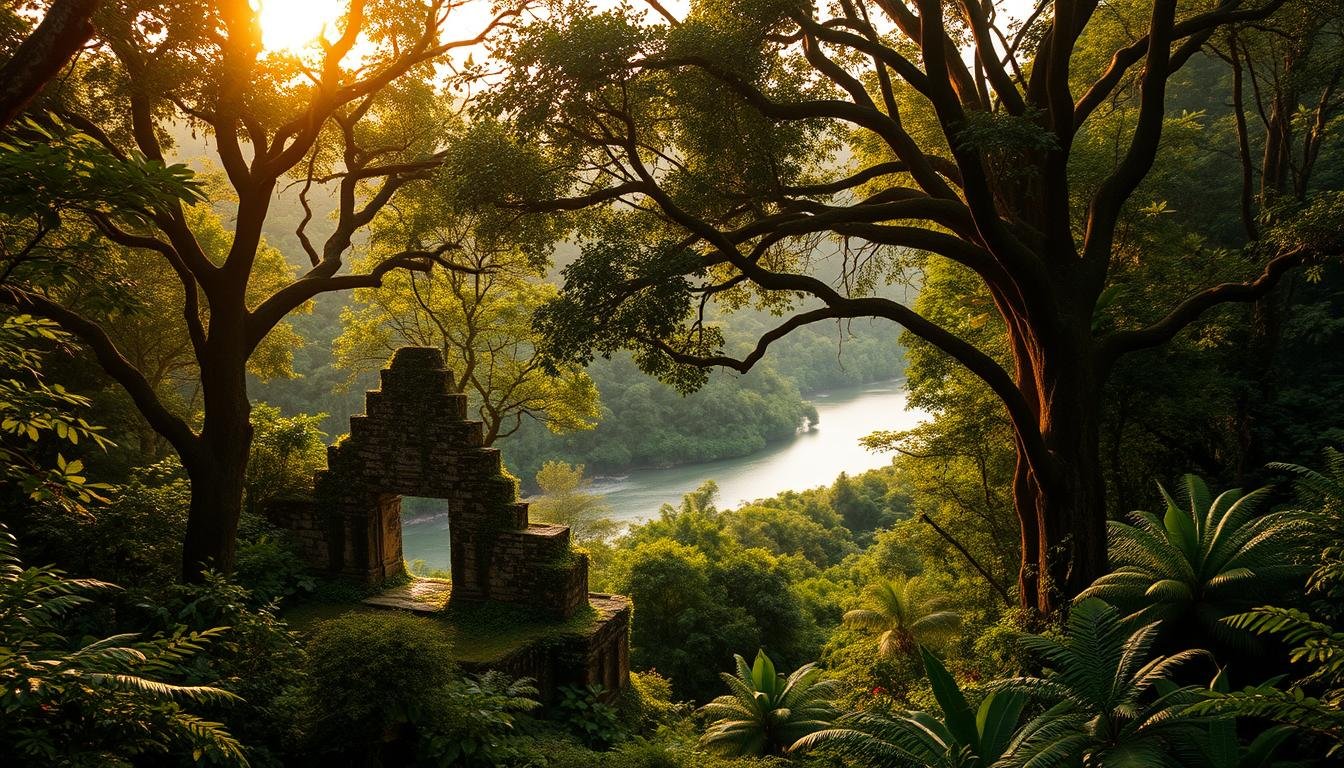
Imagine vines swallowing stone temples like nature’s hungry caterpillar. That’s Copán for you – a UNESCO World Heritage Site where the rainforest plays hide-and-seek with ruins older than Shakespeare. I’ve traced my fingers over carvings of Maya kings still scowling after 1,200 years. Their stone calendars? Let’s just say they’d put your smartwatch to shame.
Mysteries of Copán and Hidden Heritage
Start at the Hieroglyphic Stairway – 63 steps crammed with symbols explaining royal feuds and cosmic events. Then duck into Tunnel Rosalila, where archaeologists found paint so vibrant, it looks fresh from 600 AD. Kids dig the stelae (giant stone billboards) showing rulers gripping scepters like ancient rockstars. Pro tip: Bring a flashlight – some carvings hide in shadowy corners!
This part country near Guatemala’s border holds secrets under every leaf. Howler monkeys guard overgrown plazas. Bats nap in tombs meant for queens. And that mossy pyramid? It’s actually eight pyramids stacked like nesting dolls – each layer revealing older temples beneath.
Here’s the kicker: Only 20% of Copán’s ruins are uncovered. The rest? Still buried under roots and red earth. Who knows what gold-plated jaguars or jade masks might surface next? Grab a map (the paper kind – no signal here!) and become the explorer. Just watch out for mischievous spider monkeys – they’ll steal your snacks faster than you can say “Central America’s best-kept secret!”
Unpacking Honduras’ Geography and Biodiversity
Think your backyard’s wild? Try a country where mountains pierce clouds, crocodiles patrol swampy coasts, and rainforests grow so thick they’ve basically invented their own weather. I once got drenched by a “horizontal waterfall” – turns out, that’s just afternoon rain in the Plátano Biosphere Reserve.
Plátano Biosphere Reserve and Lush Rainforests
This UNESCO-protected region in the northeast is nature’s ultimate playground. Covering 5,250 km² (that’s bigger than Rhode Island!), it’s home to jaguars that out-sprint Usain Bolt and scarlet macaws louder than rock concerts. The forests here aren’t just trees – they’re living skyscrapers with vines as elevators.
Diverse Ecosystems from Mountains to Mangroves
Head west, and you’ll trade steamy lowlands for misty cloud forests where orchids grow beards. The mountains drop sharply to narrow plains along both coasts – like Earth’s version of a layer cake. Down south? Mangroves twist into natural mazes where baby sea turtles practice their escape routes.
Here’s the kicker: Honduras packs six climate zones into an area smaller than Louisiana. One minute you’re swatting mosquitoes in Caribbean coast mangroves, the next you’re shivering in pine-oak highlands. Pro tip: Watch for tapirs – these adorably awkward “jungle cows” think they’re ninjas in the underbrush.
Vibrant Culture: Foods, Festivals, and Family Traditions
Let your taste buds time-travel through a coast-to-capital flavor highway. Honduran kitchens whip up history lessons you can chew – where every bite tells stories of Mayan farmers, Spanish sailors, and Caribbean spice traders shaking hands in your mouth.
Tasty Local Dishes Like Baleadas and Sopa de Caracol
Grab a baleada – the ultimate flour tortilla Swiss Army knife. Street vendors fold them around refried beans, crumbled cheese, and scrambled eggs like edible origami. Fancy version? Add avocado slices and coffee-rubbed grilled meats. Pro tip: The best ones come from roadside shacks smelling like wood smoke.
Now dive into sopa de caracol (conch soup). Imagine the Caribbean Sea in a bowl – coconut milk waves, yam islands, and conch pieces chewier than your gym shoes. Locals swear it gives superpowers. I once saw a fisherman drink three bowls then arm-wrestle a lobster.
Birthdays here aren’t complete until a rainbow-colored donkey explodes. Children swarm falling candy from piñatas while grandparents blast punta music from crackly radios. December’s Feria Juniana turns streets into dance floors – think marimba bands, fried bananas dripping honey, and fireworks that’d make Fourth of July blush.
Sunday mornings? Every home becomes a tamale factory. Families wrap corn dough in banana leaves like edible presents – some stuffed with chicken, others with raisins and prunes. The secret ingredient? Gossip shared while steaming bundles in backyard pots.
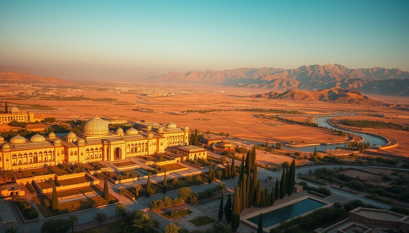
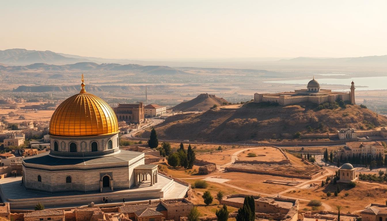
Mapping Honduras: From High Mountains to Coastal Plains
Grab your imaginary compass – we’re charting a country where geography does backflips. Picture a triangle with its point aimed at Nicaragua. Now stack 87% mountains in the center, like Earth’s crumpled paper ball. That’s your basic map – but wait till you zoom in.
Tegucigalpa isn’t just a tongue-twister capital – it’s a city perched at 3,200 feet. I once packed three jackets in July here while beaches sizzled 80 miles away. These highlands act as nature’s mixer: Pacific breezes tango with Caribbean humidity, creating microclimates faster than you can change TV channels.
Head coast-ward and the drama flattens. Narrow plains hug both oceans like green ribbons. The Caribbean side? All swampy mangroves and coconut palms. Pacific-facing? Dry forests where cacti throw shade (literally). United States geography buffs would geek out over how these zones mirror California-to-Florida contrasts – just squished into Vermont’s footprint.
Here’s the kicker: You can breakfast in cloud forests, lunch in pine highlands, and dinner where howler monkeys debate sunset colors. This land doesn’t do halfway – it’s all peaks, valleys, and surprise waterfalls. Pro tip: Watch your step – those “hills” might actually be sleeping volcanoes!
Honduras in the Global Spotlight: Economy and Trade
Forget Monopoly money – this country’s real economy runs on beans, bananas, and buried treasure. I’ve watched sunrise over coffee plantations where workers pick red “cherries” faster than you can say “caffeine fix,” then toured mines where modern prospectors hunt silver instead of pirate gold. Let’s crack open the vault.
Coffee Plantations and Agricultural Staples
That morning brew Americans guzzle? Honduras grows the beans – 4th biggest producer in Central America. The region’s high-altitude coffee fuels a $1 billion annual export machine. But it’s not just java. Banana plantations stretch coastlines like green highways, shipping 9 million boxes yearly to the United States. Pro tip: Next time you eat a Chiquita, check the sticker – might’ve ridden a truck through San Pedro Sula!
Mining Ventures and Resource Exports
Under those misty mountains? Enough zinc to supply 5% of global demand. I’ve descended into the El Mochito mine – Central America’s oldest – where glittery ore veins look like crushed constellations. Mining pulls in $500 million annually, but here’s the rub: Only 10% of mineral-rich land’s been explored. Locals debate policy daily – protect forests or dig for wealth?
Washington buys 35% of Honduran products, making trade deals as vital as rainfall. But walk any people-packed market here, and you’ll see the hustle – farmers roasting beans, artisans carving mahogany, vendors hawking bananas three for a lempira. This economy’s not just numbers – it’s the rhythm of daily life.
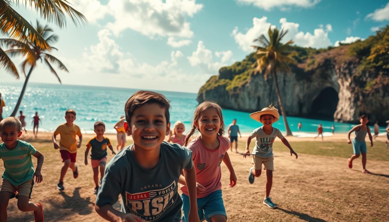
Coastal Adventures and Island Escapades
Swap jungle boots for flip-flops – we’re diving into the Caribbean Sea’s liquid jewels. The Bay Islands don’t just hug the coast; they redefine beach daydreams. I’ve watched sunrise from Roatán’s West Bay Beach, where sand feels like powdered sugar and water shifts from minty turquoise to midnight blue faster than a chameleon changes shirts.
Saltwater Secrets and Sun-Kissed Trade
Roatán isn’t your average island. Coral reefs here burst with more colors than a kindergarten crayon box – I’ve counted 63 fish species in one snorkel session! Local foods tell tales too: beach shacks grill plantains caramelized in coffee syrup, while fishermen trade stories over beans simmered in coconut milk.
The lowlands hide surprises beyond sand. Mangrove tunnels near Utila Island shelter baby sea turtles, while forests inland buzz with howler monkeys and neon tree frogs. Fun fact: This region exports more lobster tails than any other in Central America – your favorite seafood restaurant might source catches from these very waters.
Island
Signature Feature
Must-Do Activity
Roatán
Mesmerizing coral walls
Scuba dive with whale sharks
Utila
Budget-friendly hostels
Spot migrating dolphins
Guanaja
Waterfall-fed swimming holes
Hike cloud forests
Trade winds carry more than salt here – they whisper of pirate history and modern export hustle. Watch cruise ships dock beside fishing boats hauling tomorrow’s market catch. Pro tip: Chat with a local diver – their tales of underwater caves make Jules Verne novels seem tame!
Final Reflections on the Rainforest Kingdom That Keeps Evolving…
Standing knee-deep in Lake Yojoa’s mirror-like waters last summer, I realized this country’s story never truly finishes. Mist rises from the mountains where mining tunnels echo 16th-century silver rushes, while below, fishermen haul tilapia from Central America’s largest freshwater reserve. The lake’s delicate balance – supporting 400+ bird species yet supplying 80% of local drinking water – feels like the nation itself: ancient ecosystems tangling with modern needs.
Down in the capital’s cobblestone alleys, children kick soccer balls past colonial churches built with stones from Maya temples. Export trucks rumble north toward the United States, loaded with coffee and shrimp that’ll become someone’s breakfast. But here’s what sticks with me: how forests regrow over cleared land faster than maps can update, how scarlet macaws outnumber traffic lights in half the city.
I once met a farmer near Yojoa who replants cacao trees where his grandfather dug for ore. “We’re still writing thefacts,” he grinned, machete in hand. Maybe that’s the real magic – this land’s refusal to be pinned down. As morning fog swallows another mountain ridge, you’ve got to wonder… what’s taking shape beneath those clouds right now?