Let’s cut to the chase: this French explorer founded Quebec City in 1608 and sketched Canada’s earliest accurate maps—all while surviving pirate attacks and harsh winters. Picture a guy who could draw coastlines by day and negotiate with Indigenous tribes by night, then repeat the process for 30 years. Not bad for someone who started as a humble sailor from a tiny salt-making town!
Born in Brouage, France, Champlain grew up smelling sea salt and mastering navigation charts. By 1603, he’d crossed the Atlantic three times, dodging icebergs and scribbling notes about the St. Lawrence River like it was his personal diary. His maps weren’t just pretty pictures; they helped Europeans grasp the New World’s scale. Think Indiana Jones with a compass instead of a whip.
Here’s the kicker: he named Lake Champlain after himself (modest, right?), but also forged alliances with Huron tribes that lasted decades. Imagine trying to build a settlement in -30°C weather while keeping peace with local communities—this guy multitasked before the word existed.
So why should kids care? Because history isn’t about dusty textbooks. It’s about real people who sailed into the unknown, made messy mistakes, and left fingerprints we still see today. Ready to dive deeper into how a cartographer’s quill changed North America forever? Let’s roll.
Early Voyages and Cartography Techniques
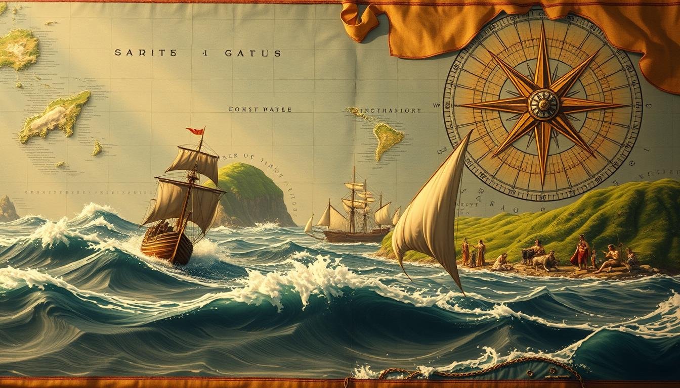
Let me take you back to 1603, when a daring voyage changed North America’s fate. Fresh off the boat from France, our explorer joined a fur-trading mission that doubled as a mapping masterclass. Think of it as Google Earth—but with parchment, ink-freezing nights, and zero coffee breaks.
First Encounters with New World Waters
Champlain didn’t just sail—he studied. While others focused on pelts, he scribbled notes about currents, shorelines, and Indigenous canoe routes. His secret? Treating every river bend like a puzzle piece. By 1604, he’d mapped the St. Lawrence so precisely, modern sailors still marvel at his accuracy.
Here’s the kicker: he once rerouted his ship mid-storm to sketch a bay’s shape. Most captains would’ve battened hatches. Not this guy. His quick thinking earned him Indigenous trust—and maps that outshone rivals’ doodles.
Champlain’s Method
Other Explorers
Result
Measured depths daily
Guessed based on tides
Accurate nautical charts
Partnered with locals
Ignored native knowledge
Alliances that lasted decades
Drew landmarks in real-time
Relied on memory
First detailed New France maps
Mapping the St. Lawrence and Beyond
Those crinkled pages? They became New France’s GPS. Champlain’s charts showed Europe the continent’s true scale—from future New York coastlines to hidden inlets. It wasn’t just about geography; his work stamped French claims across the wilderness.
Want my take? This wasn’t just mapmaking. It was high-stakes storytelling. Every line whispered, “We belong here.” And honestly? That’s how you turn a fur route into an empire.
Let me tell you about the wildest construction project in New World history. On July 3, 1608, samuel champlain stepped onto the cliffs overlooking the St. Lawrence River and declared: “We’re building a city here.” Never mind that winter was coming, or that 20 of his 28 men would freeze to death by spring. This wasn’t just a settlement—it was a statement.
Building a Settlement in Harsh Winters
They called it L’Habitation—a fortress-city hammered together in four months. Picture two-story buildings with cannon slots, a 15-foot moat dug by shivering hands, and storage rooms stacked like life rafts. Champlain didn’t just draw maps; he built them. When temperatures plunged to -30°C, colonists burned furniture for warmth. Only eight survived that first winter.
Innovative Fortifications and Daily Life
This wasn’t just survival—it was New France’s first masterclass in adaptation. The cartographer turned contractor mixed French engineering with military smarts. Watchtowers doubled as bread ovens. Frozen river water became emergency walls. By spring, they’d created a blueprint for life in the wilderness: trade with Indigenous allies by day, repair axes by firelight at night.
Fun fact? That icy hellhole became Quebec City—still standing today. Turns out, grit and a good moat beat frostbite every time.
Samuel de Champlain Facts for Kids: Explorer Insights and Fun Tidbits
Picture this: a French explorer striding into a tense tribal council, not with a sword, but a promise. That’s how our guy flipped the script in New France. When Huron and Algonquin leaders needed backup against Iroquois rivals in 1609, he showed up with muskets—and a deal. “Help me map this land,” he said, “and I’ll help you hold it.” Genius? Absolutely. Risky? Like juggling lit torches in a gunpowder storeroom.
Navigating Native Alliances and Sharp Encounters
Champlain didn’t just trade furs—he traded trust. His alliance with the Huron lasted 20 years, surviving harsh winters and hotter tensions. How? By learning their language, respecting their life on the land, and yes, occasionally firing warning shots during standoffs. Once, he ended a potential war by sketching a map mid-negotiation. “See this river?” he’d say. “Your enemies can’t sneak past here.” Suddenly, everyone wanted the cartographer on their side.
Epic Expeditions on Lake Champlain
In July 1609, he paddled into history—literally. His crew charted the 120-mile lake that now bears his name, nailing distances so precisely modern GPS blushes. They dodged Iroquois arrows near future New York, camped on islands teeming with blueberries, and proved the St. Lawrence wasn’t the only waterway worth fighting for. My take? This wasn’t just exploration. It was performance art—with canoes as props and a city-shaping legacy as the encore.
Here’s the kicker: Champlain’s maps were so accurate, 21st-century archaeologists still use them. Not bad for a guy who probably drew lines by campfire light while mosquitoes dive-bombed his inkwell. Explorer? More like a human Swiss Army knife.
Military Expeditions, Challenges, and Survival in New France
Ever wonder how a 17th-century explorer won battles without Google Maps? Let’s break down Champlain’s playbook during the 1609 clash at Ticonderoga—a masterclass in thinking fast while arrows fly. Picture this: 60 Iroquois warriors versus 24 French and Huron allies. Outnumbered? Sure. Outsmarted? Not a chance.
Step 1: Armor up smarter. While others wore bulky metal, Champlain chose leather for mobility. Step 2: Deploy shock value. His first arquebus shot dropped two Iroquois fighters instantly—like a fireworks show that terrifies instead of delights. Step 3: Adapt mid-fight. When an arrow pierced his leg, he yanked it out, wrapped the wound with torn cloth, and kept directing troops. No time for drama.
Here’s the kicker: those three hours of chaos taught him more than any strategy book. He noticed how Iroquois warriors used tree cover, then mimicked their stealth tactics in future skirmishes. Survival wasn’t just about winning battles—it meant learning from the people who knew the land best.
Allied with Huron scouts to predict enemy movements
Turned frozen rivers into natural barricades during winter raids
Bartered fur pelts for intel on Iroquois camp locations
Post-battle, Champlain didn’t just rest. He spent months with Huron communities, mastering their language and tracking methods. That intel became New France’s secret weapon—turning near-disasters into footholds across North America. Think of it as the original survival manual: part grit, part curiosity, all nerve.
Charting Legacy and Lasting Impact on North America
Some names echo through centuries, shaping lands and lives long after they’re gone. Take samuel champlain—the man didn’t just draw maps. He etched New France into existence, from Quebec’s cobblestone streets to the vastness of lake champlain. Those 17th-century lines he inked? They’re why Canada’s still bilingual and why roadtrippers spot his name on bridges from Vermont to New York.
Here’s the twist: his real legacy isn’t in monuments (though there are plenty). It’s in how we seenorth america. Modern cartographers use his river depth charts. Urban planners study Quebec’s original layouts. Even debates about colonial time periods circle back to his alliances with Indigenous nations.
Want proof? Visit Ottawa’s Champlain statue—frozen mid-stride, compass in hand. Or paddle the lake he named, where his 1609 expedition markers still guide hikers. This explorer didn’t just leave footprints. He built a blueprint for curiosity that outlasted empires.